K-Scar: Along the Korean Division
I am been based in Seoul since late 2022. Since then, as part of a personal project, I have been following the lines of the Korean Division from west to east and east to west, from the remote islands of the Yellow Sea just a stone’s throw from North Korea to the Sea of Japan, and from the “dark tourism” hotspots around the Demilitarized Zone (DMZ) near Seoul to the little-known mountainous border areas in the center of the peninsula.
In addition to the thousands of photos I brought back from this endless journey, I was able to discover an incredible number of stories, moving, sometimes amusing but almost always tragic and ultra-violent, illustrating the division of Korea over more than seven decades. A division that shows no sign of ending, and a wound that has not yet healed for South Koreans, despite their country’s economic and cultural success story.
This work has been brought together on a dedicated website: K-Scar.
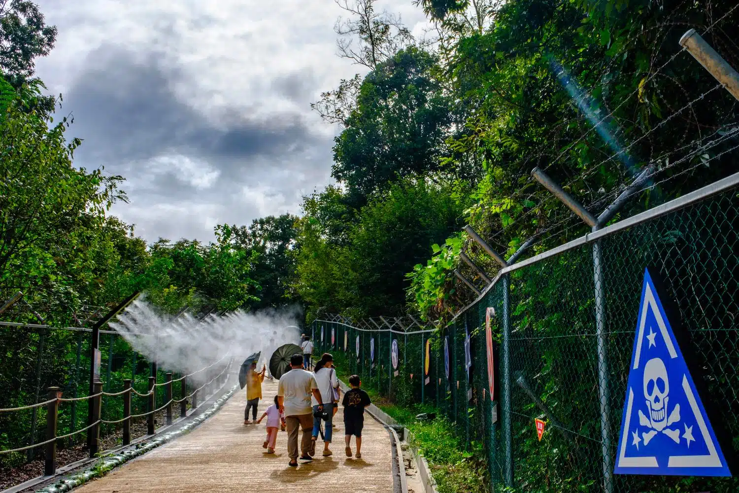
Tourists walk along ‘Military Street’ at the Imjingak Resort in Paju, near the DMZ. Water sprays protect them from the summer heat.
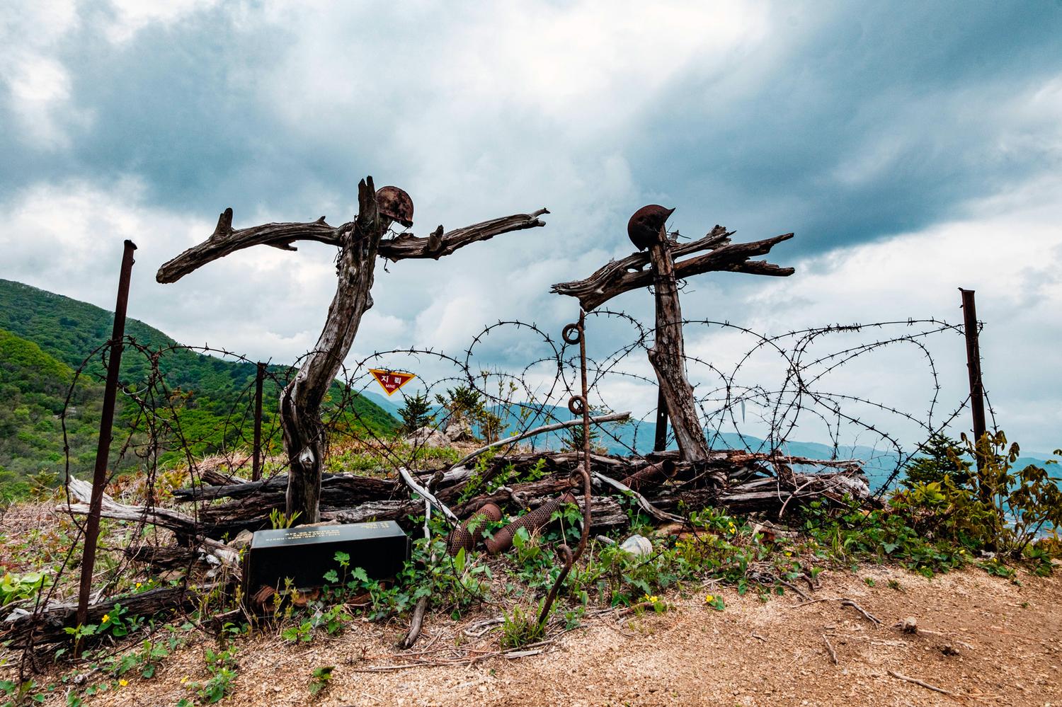
A reconstitution of “bimok” – makeshift graves dug on battlefields during the Korean War, made of pieces of wood and personal objects of the deceased – on a hiking trail in the Punchbowl Basin, Gangwon Province.
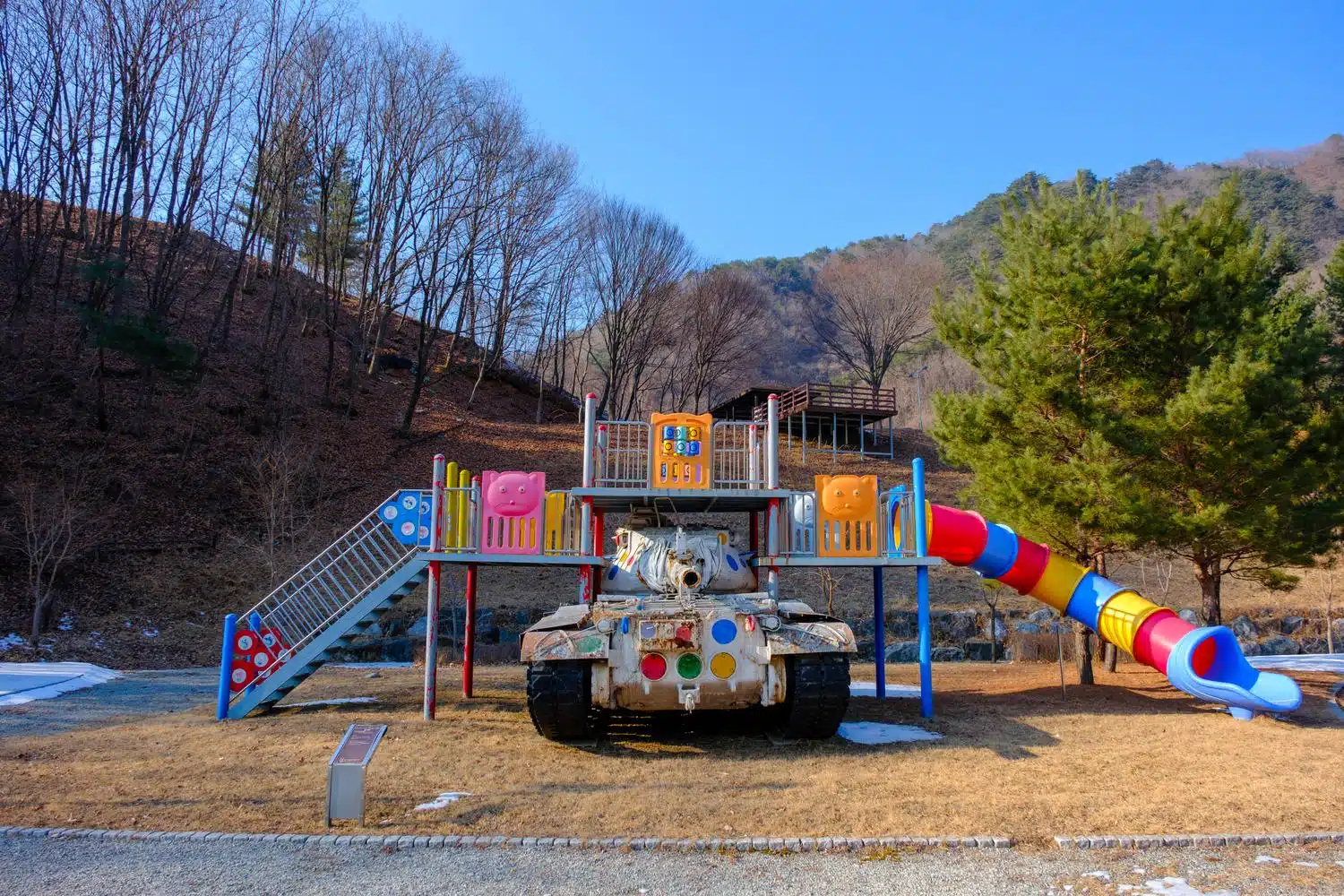
International Art Peace Park, Hwacheon.
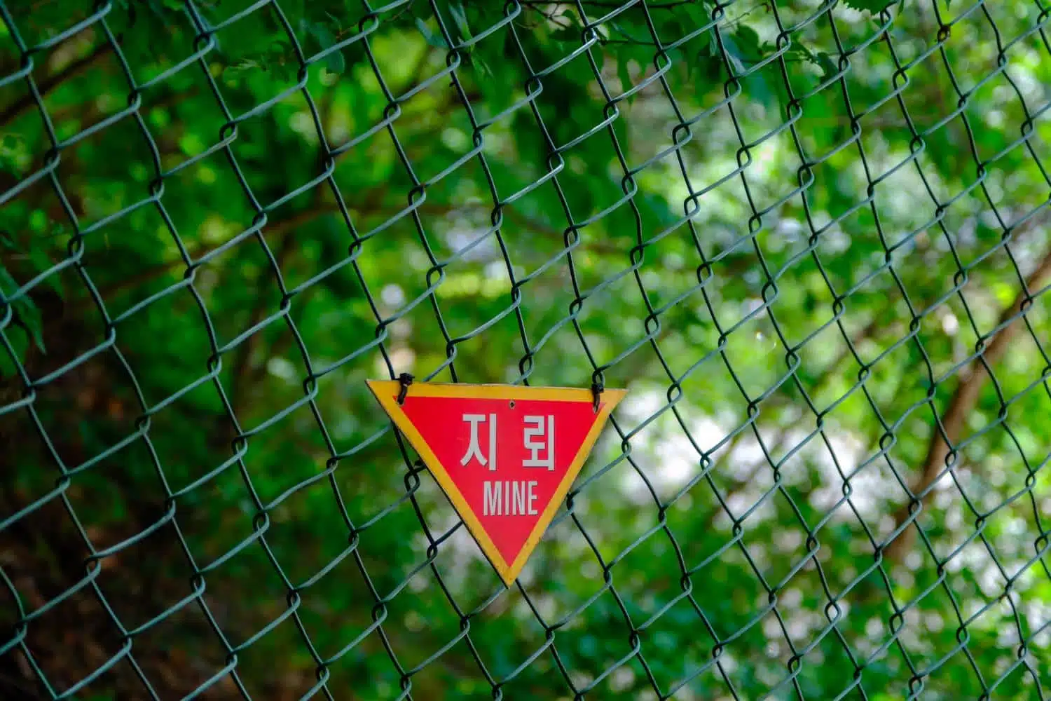
Unidentified minefield, Cheorwon.
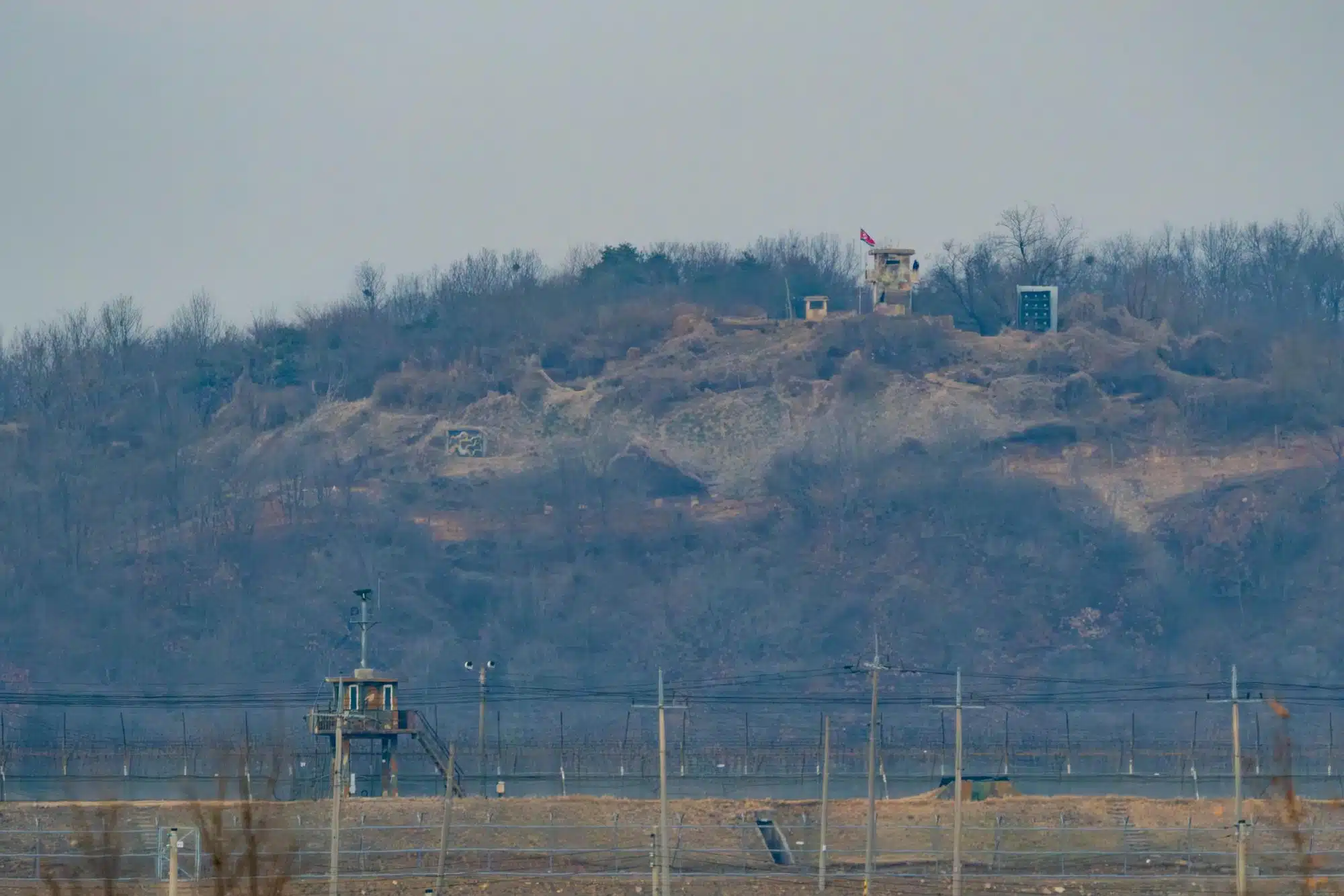
A North Korean guard post inside the Demilitarized Zone (DMZ) overlooks a South Korean one over the border near Paju City.
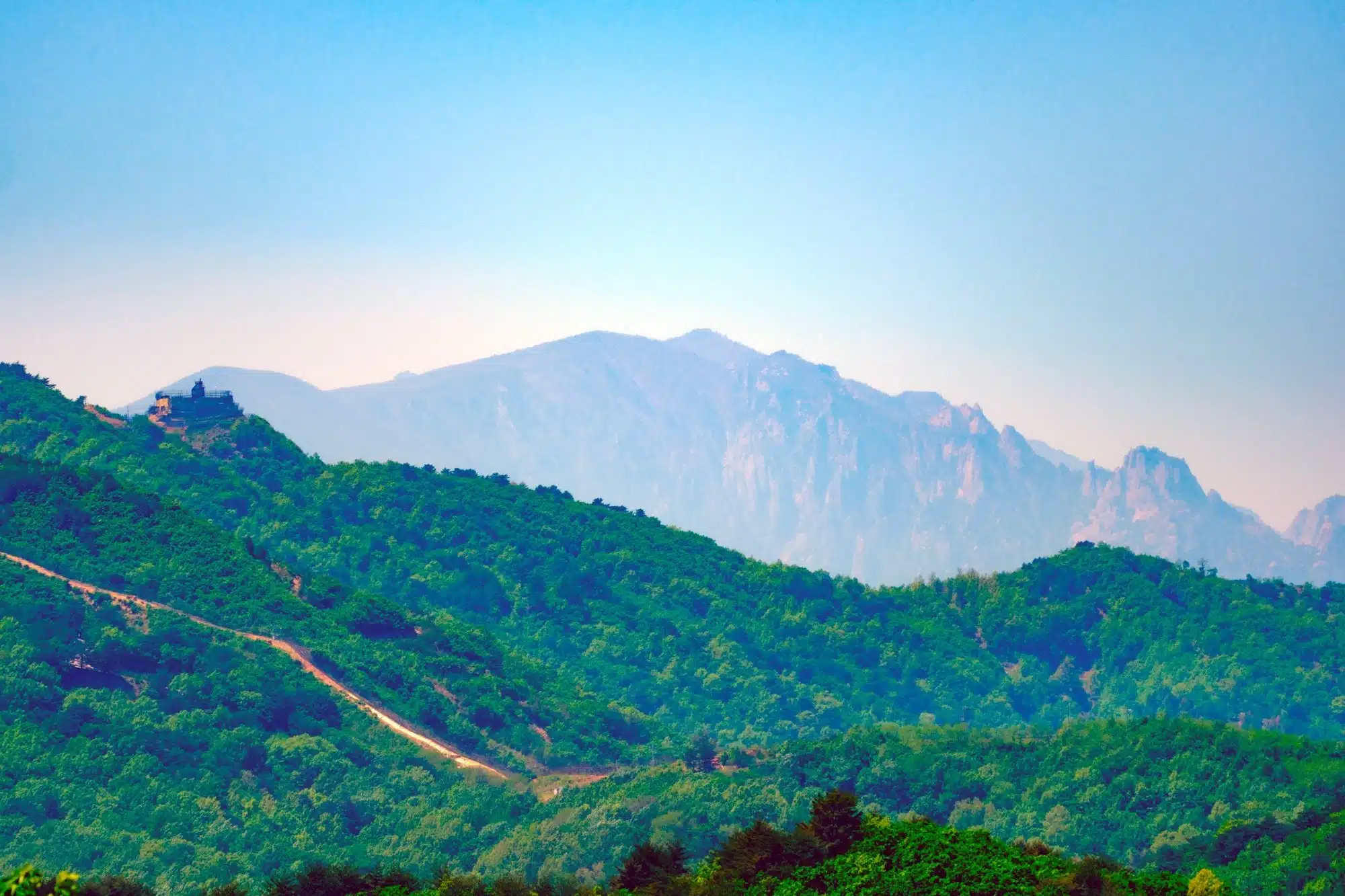
Mount Kumgang, Korea’s most beloved mountain located in North Korea, seen from the Goseong Observatory in the South.
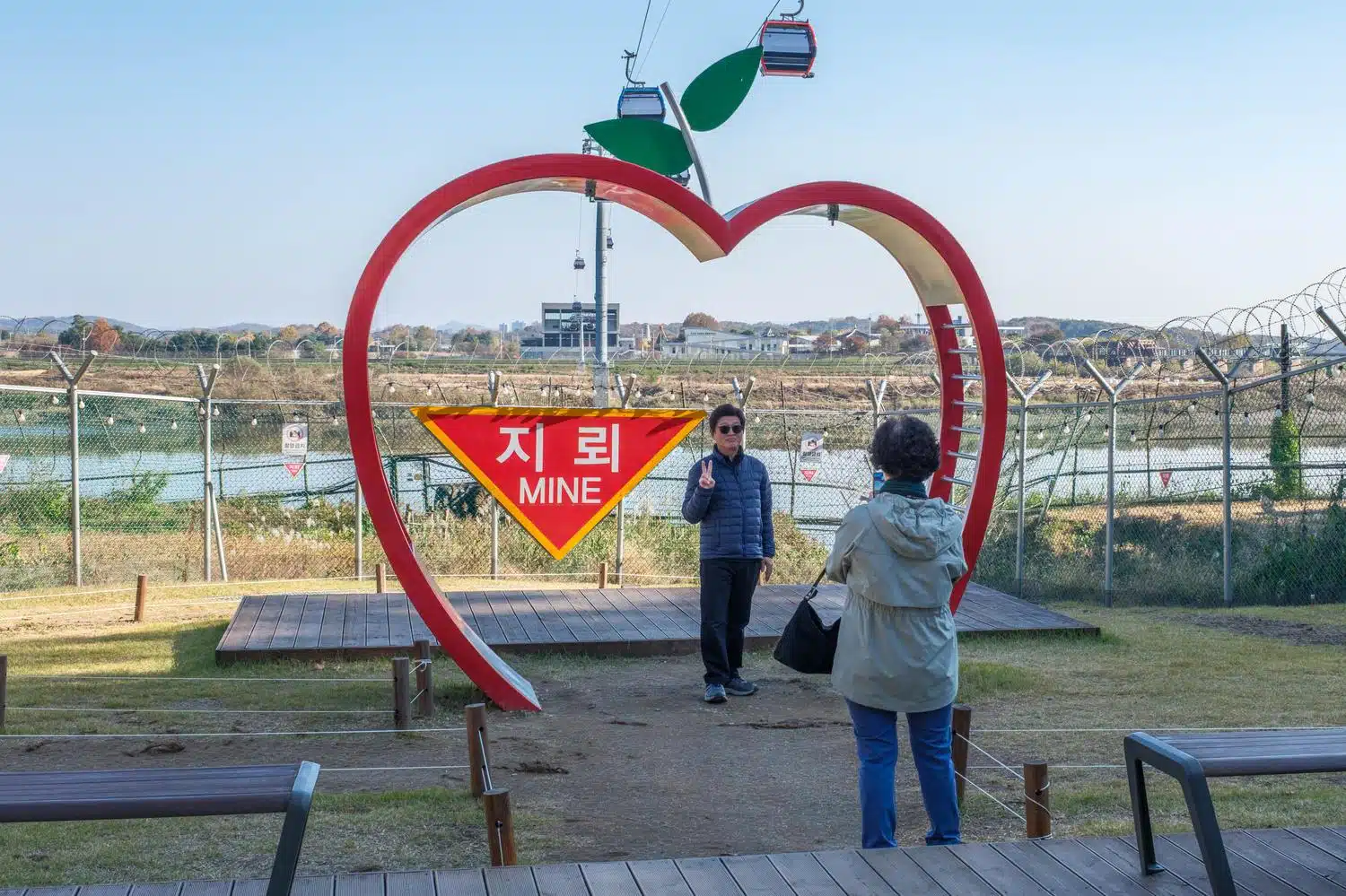
An Instagram photo spot at Imjingak Tourist Resort, in Paju City.
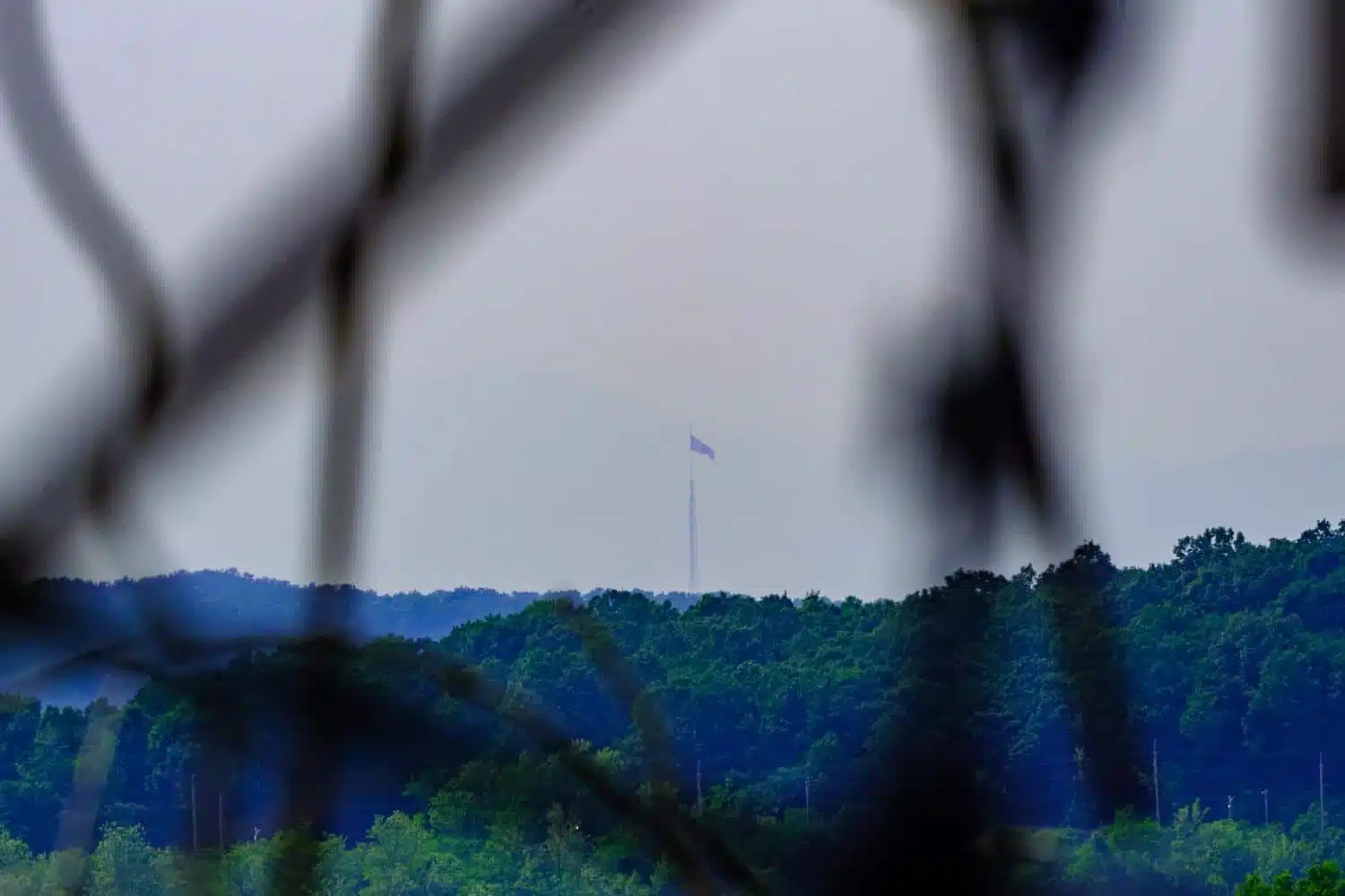
A giant North Korean flag seen from Paju’s Unification Village in South Korea.
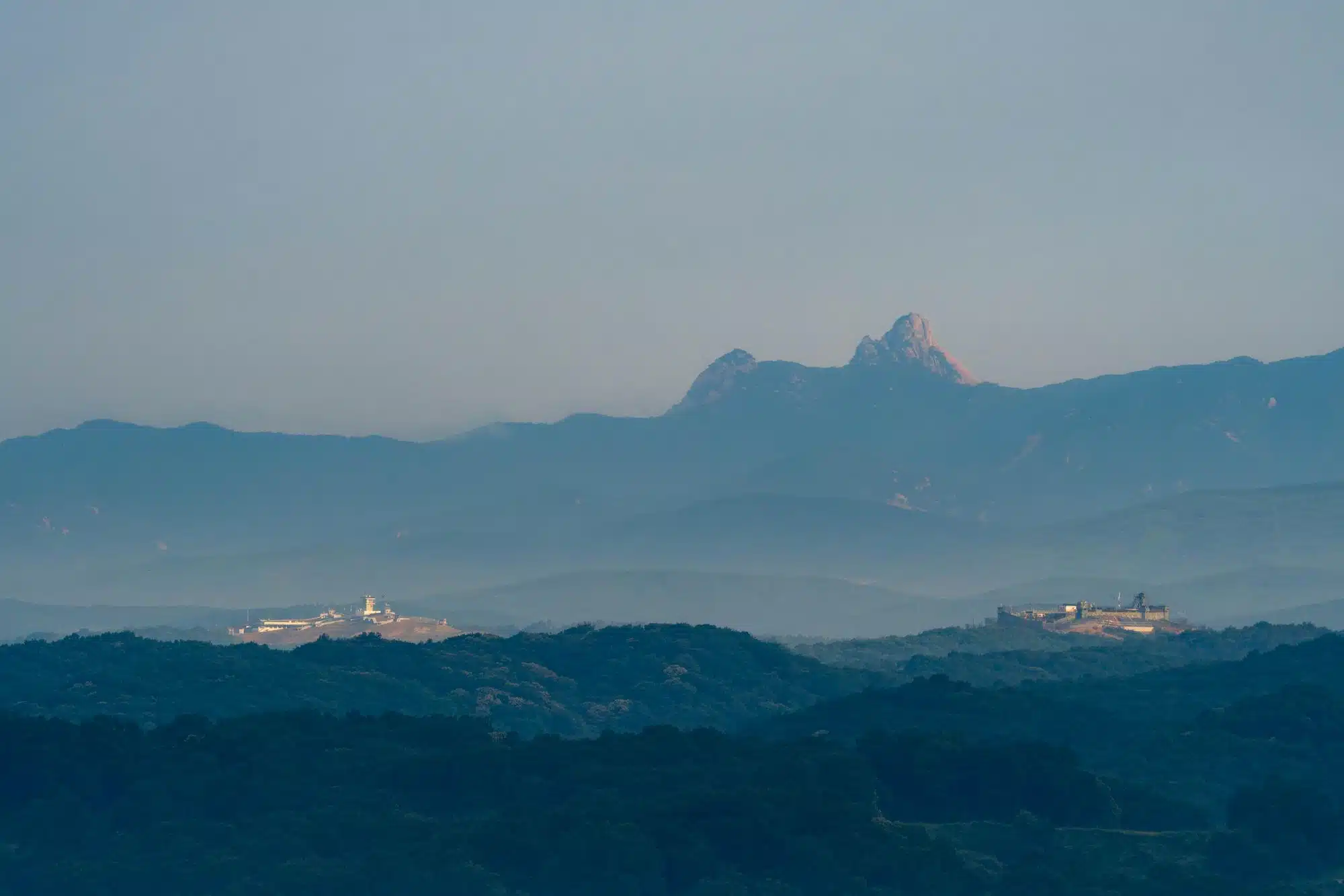
South Korean guard posts in the DMZ, with North Korean mountains in the background.
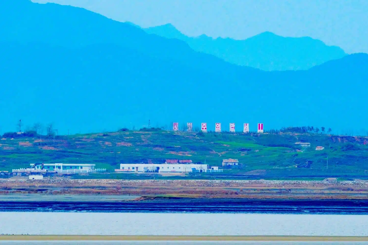
The North Korean side of the Han River Estuary seen from South Korea’s Gyodong Island. The slogan says: “Long Live Socialism!”
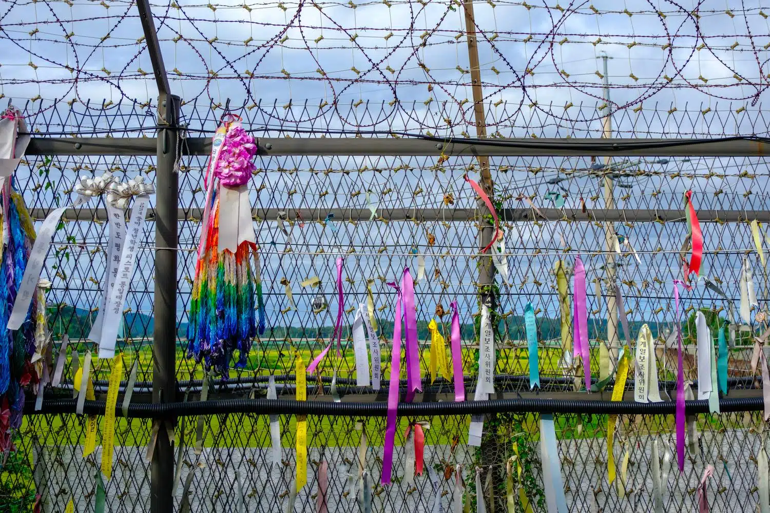
“Peace Ribbons” are attached to the Civilian Control Zone fence at Imjingak Resort, Paju City.
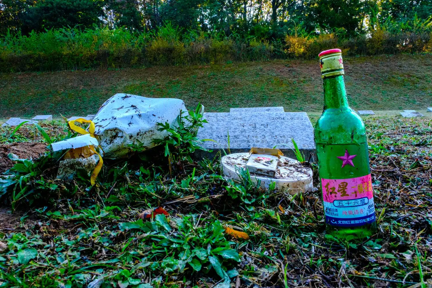
A grave of an unknown serviceman at the Military Cemetery for North Korean Soldiers in Paju City.
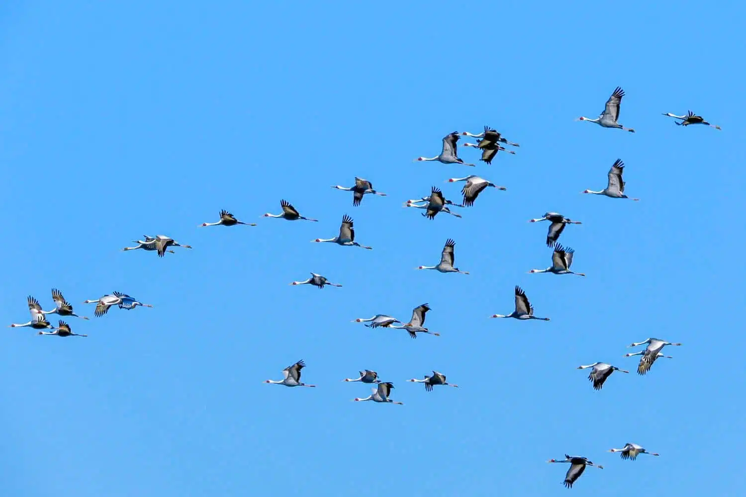
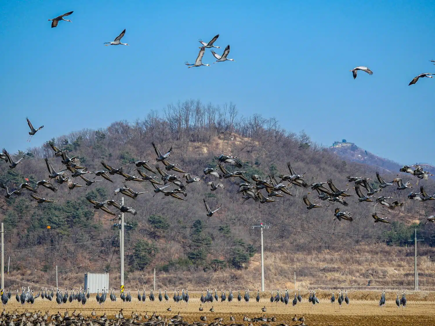
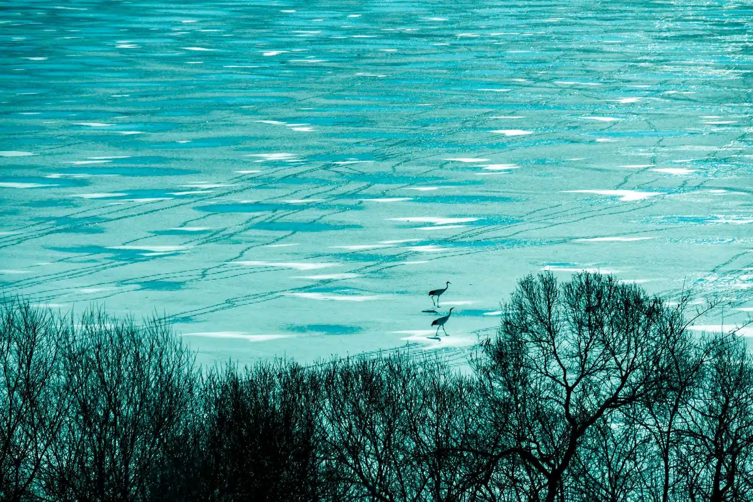
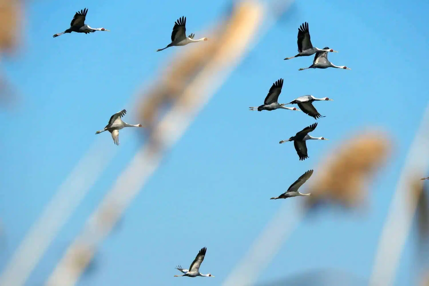
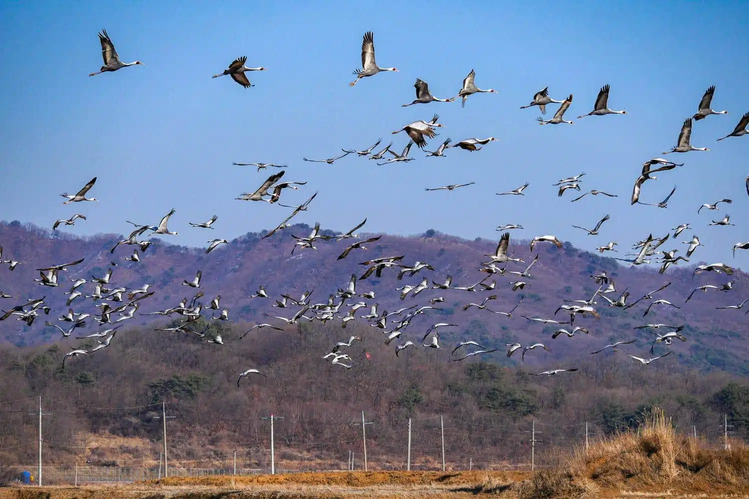
Cranes in the Civilian Control Zone in Cheorwon.
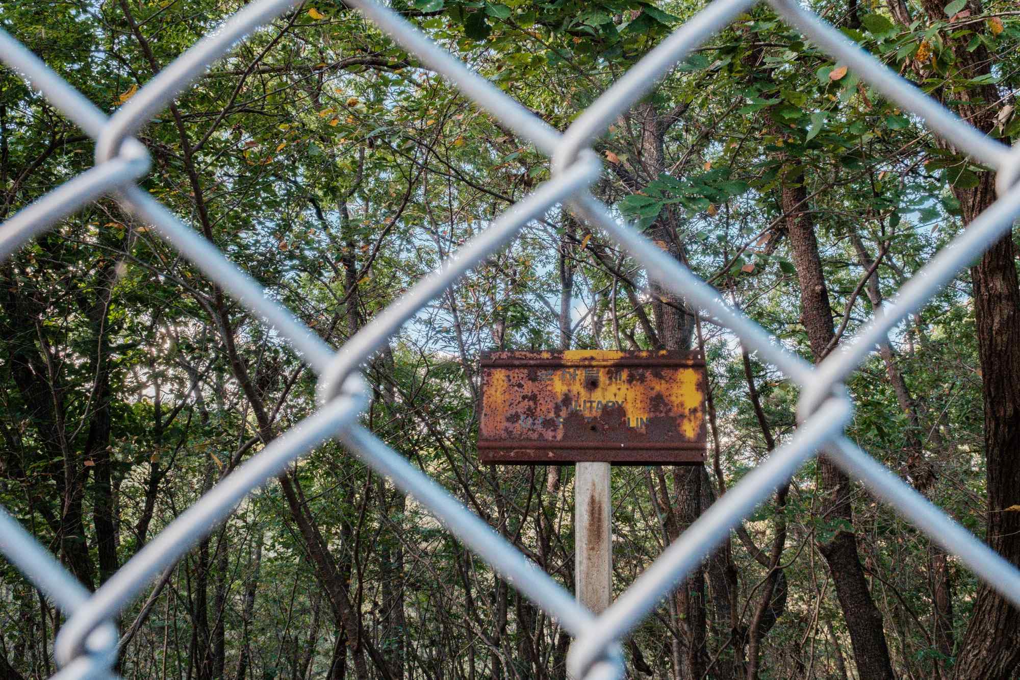
A Military Demarcation Line marker in Panmunjom.
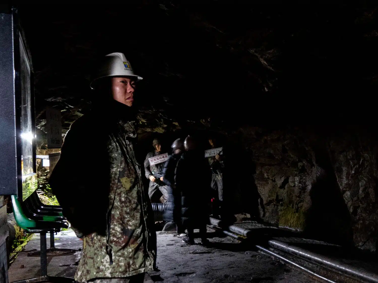
A South Korean soldier stands guard at the end of the “Second Infiltration Tunnel” dug by North Korea under the Demilitarized Zone near Cheorwon. This tunnel, intended to facilitate an invasion of the South, was discovered in 1975 and became a tourist attraction.
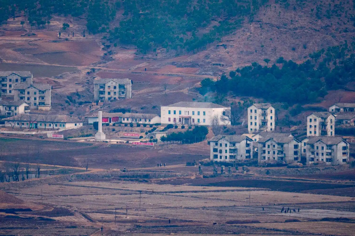
A North Korean Village, seen from the Aegibong Observatory in Gimpo City.
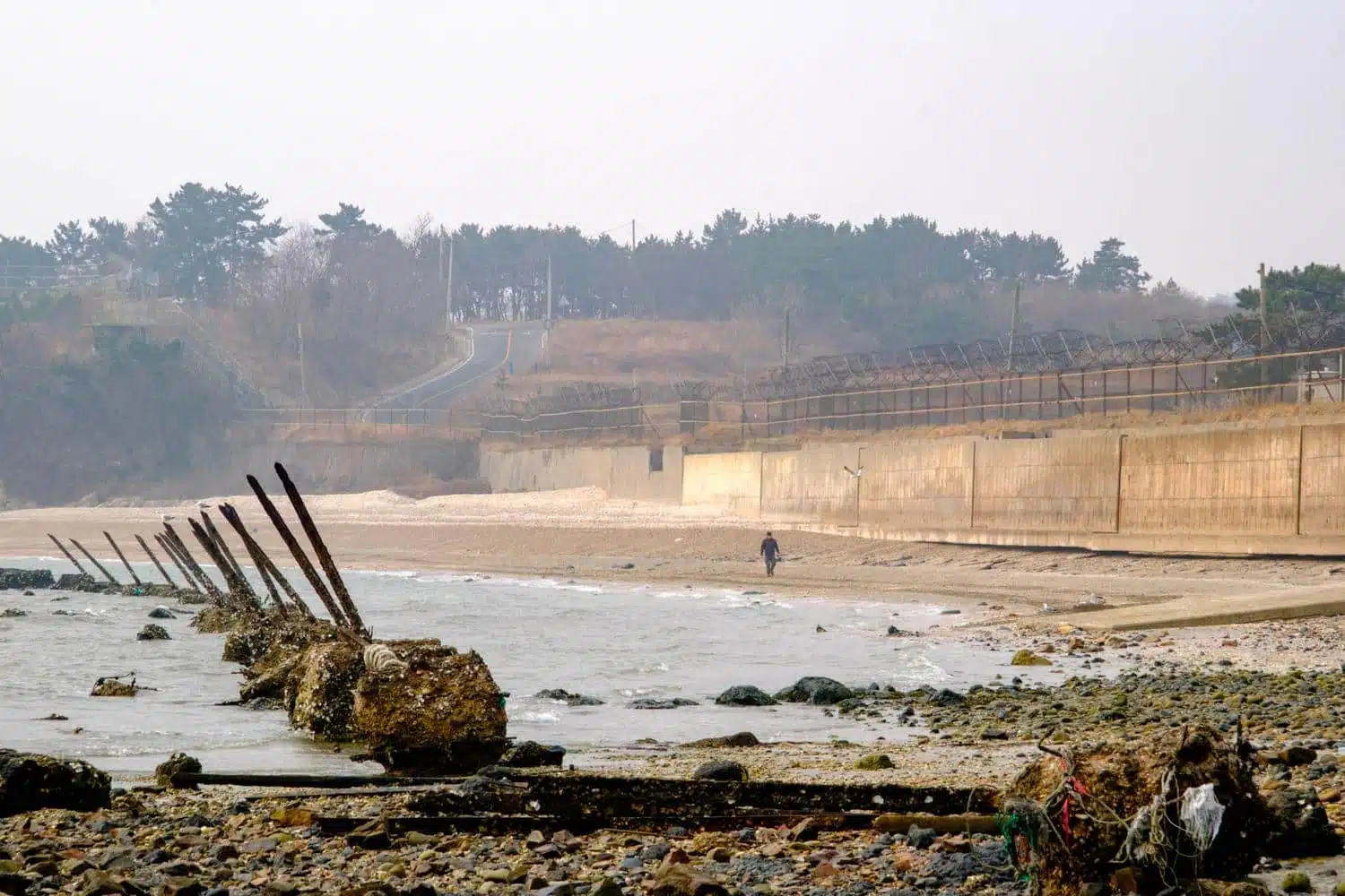
“Dragons Teeth” and fortifications on a beach in the remote Baengnyeong Island, in the Yellow Sea.
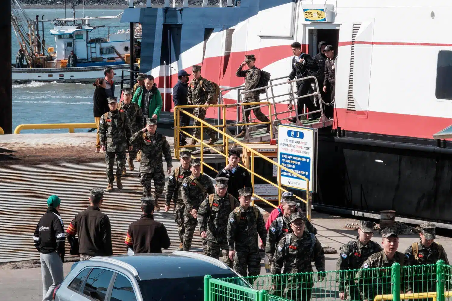
South Korean Marines and sailors arrive by ferry at Yeonpyeongdo, a remote island close to North Korea in the Yellow Sea.
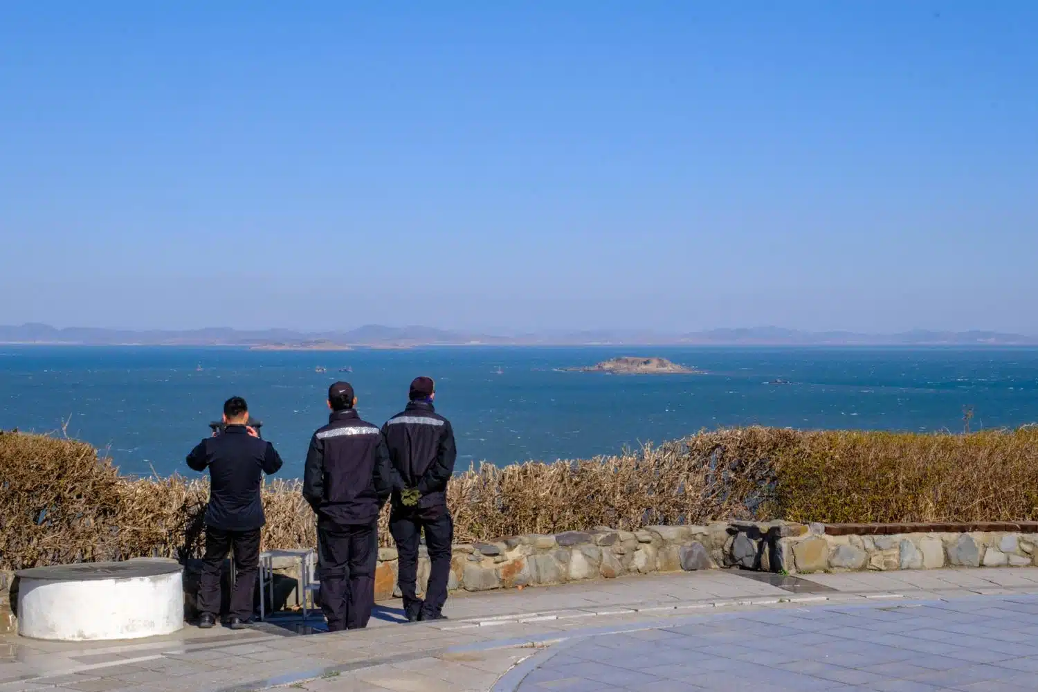
South Korean coast guard personnel on Yeonpyeong Island monitor Chinese and unidentified vessels fishing illegally around North Korean islets located a few kilometers away.
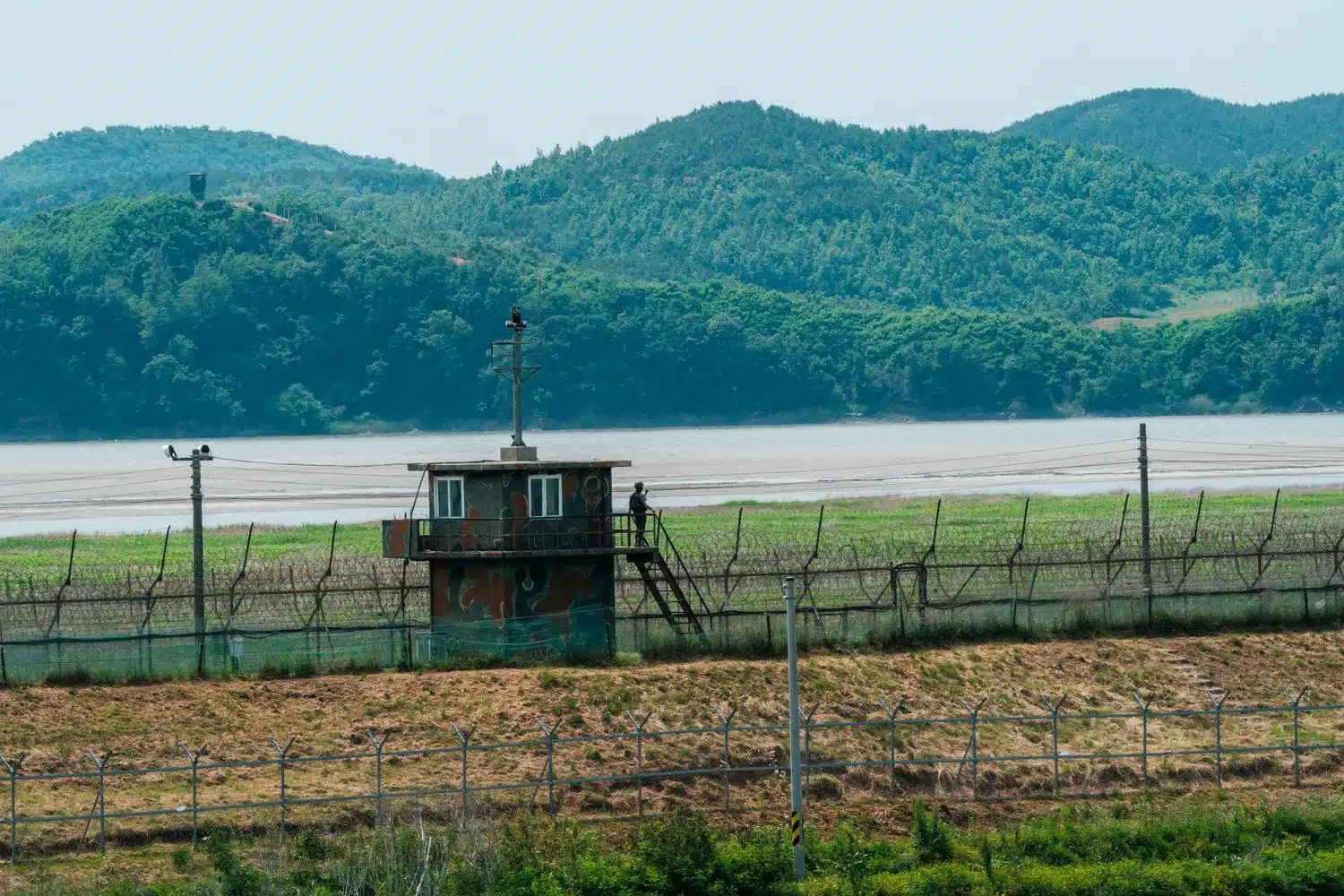
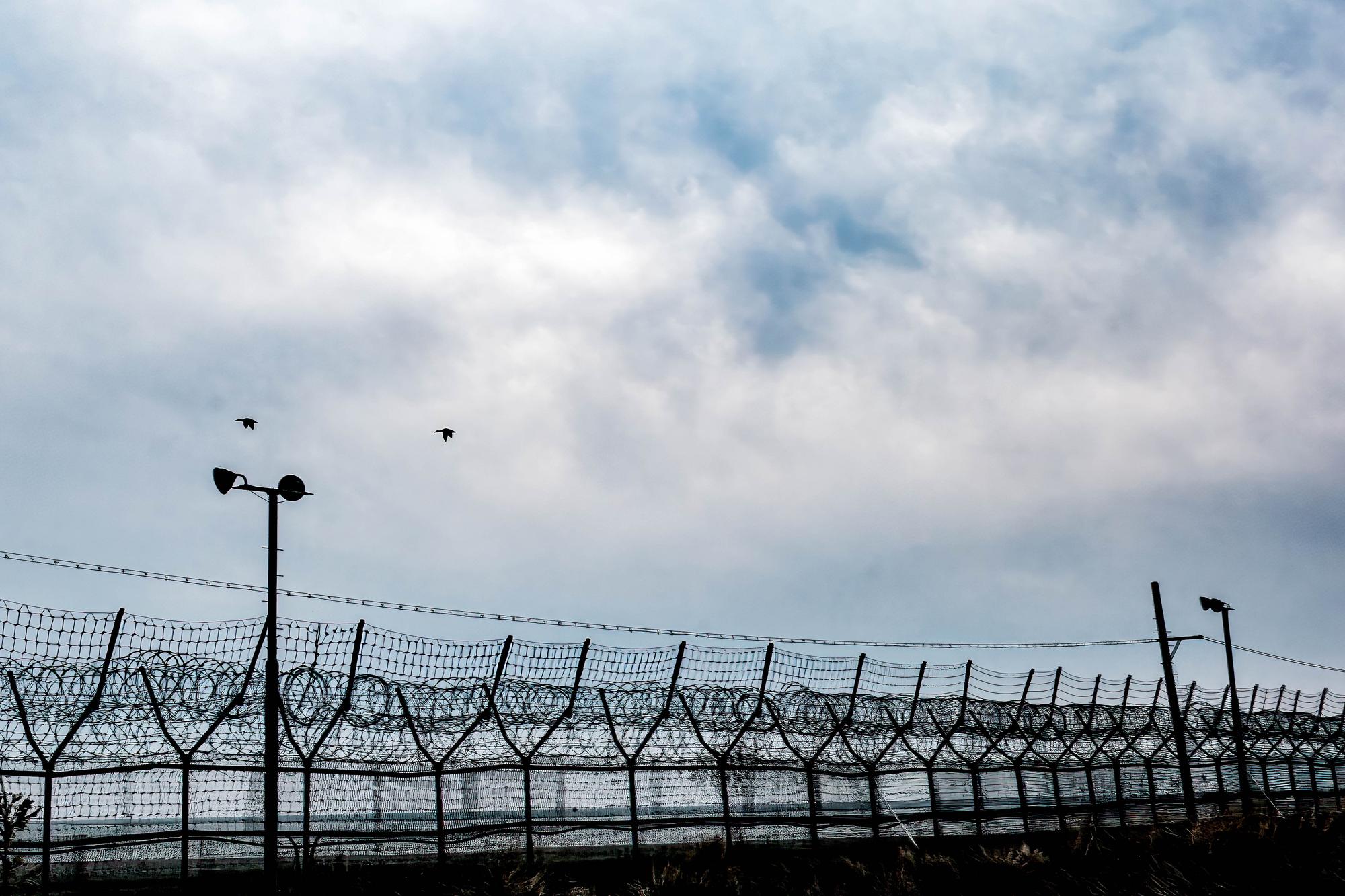
A South Korean watchtower on the banks of the Imjin River, which marks the demarcation line with North Korea in the border town of Paju, north of Seoul.
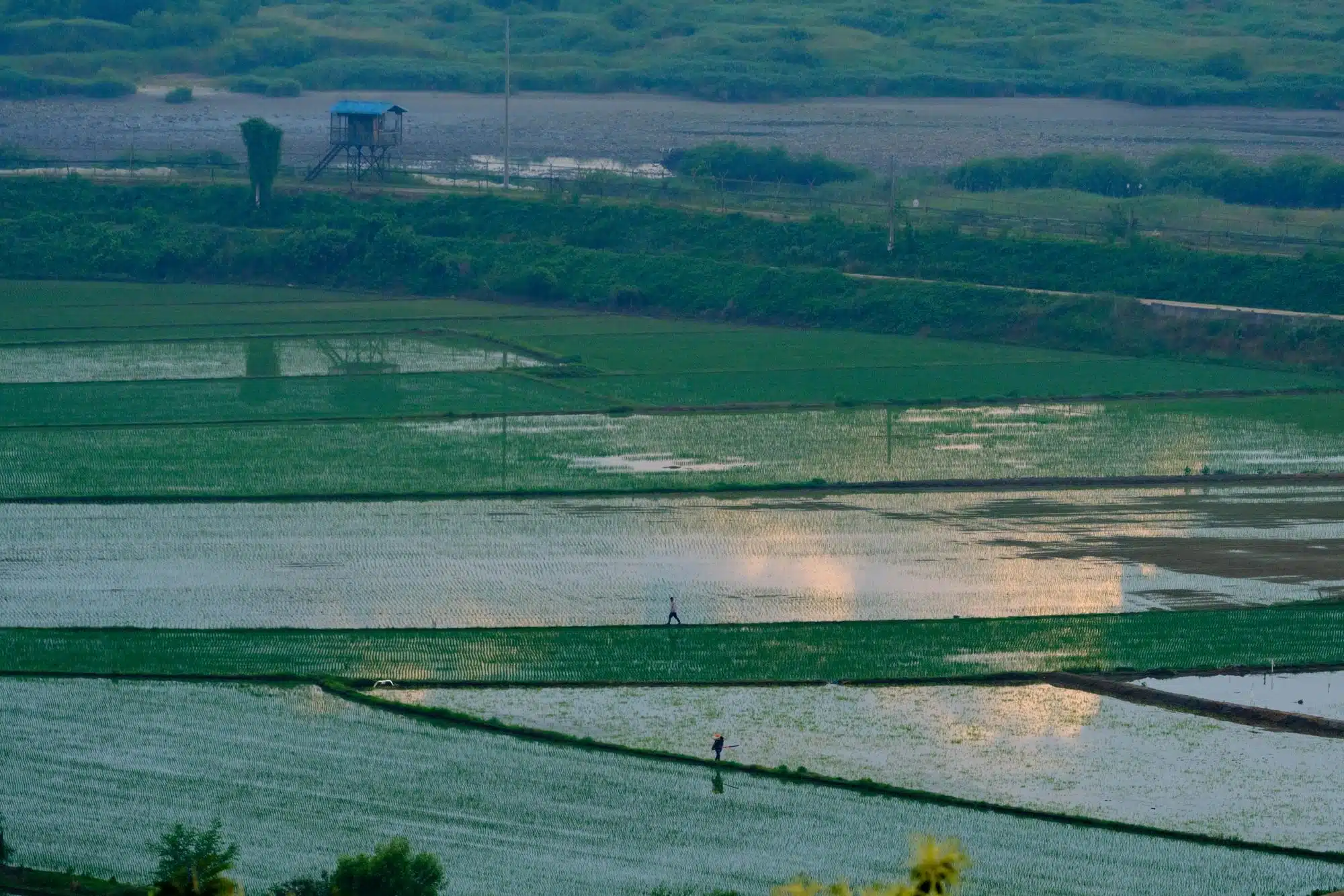
Rice paddies along the Civilian Control Line near Paju.
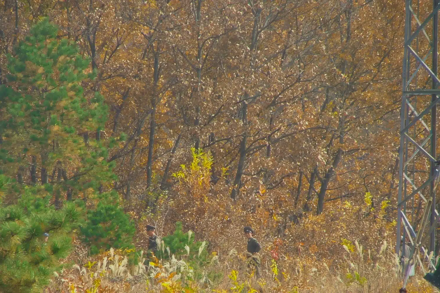
North Korean soldiers wander on their side of the border in the Joint Security Area (JSA).
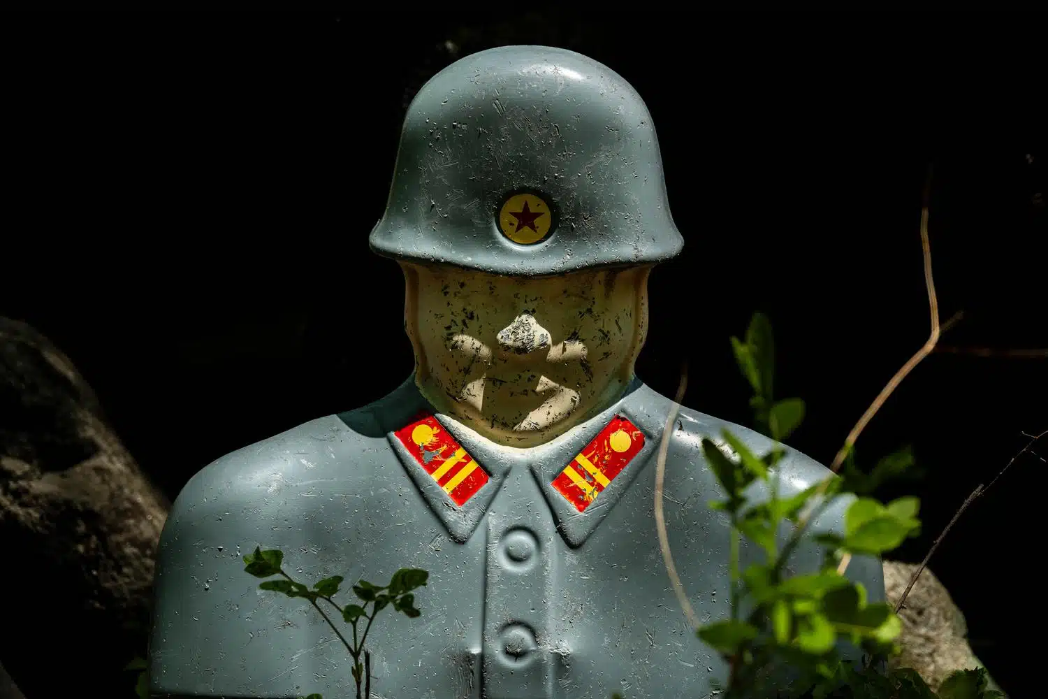
A dummy North Korean soldier, used as a target by the South Korean military for shooting exercises, Cheorwon.
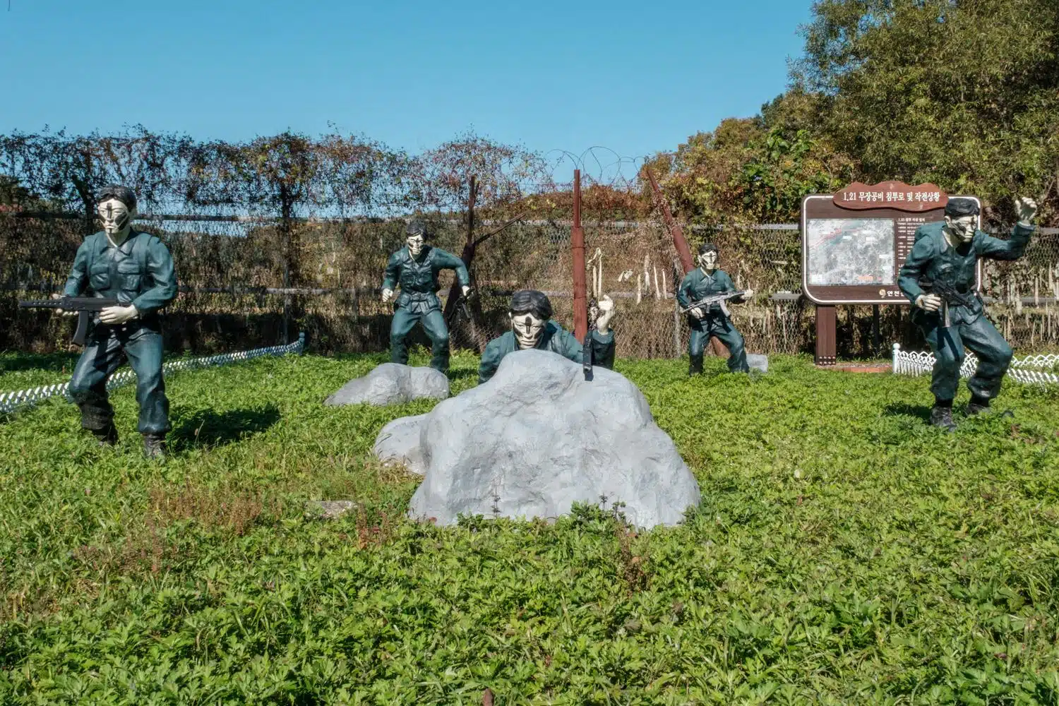
A strange reenactment, with mannequins slightly larger than life to make them more terrifying, of the infiltration into the South by an elite North Korean commando unit tasked with assassinating the South Korean president in January 1968. This tourist facility, which is difficult to access, is located at what is believed to be the exact point of infiltration of the North Koreans killers across the DMZ, near the city of Yeoncheon.
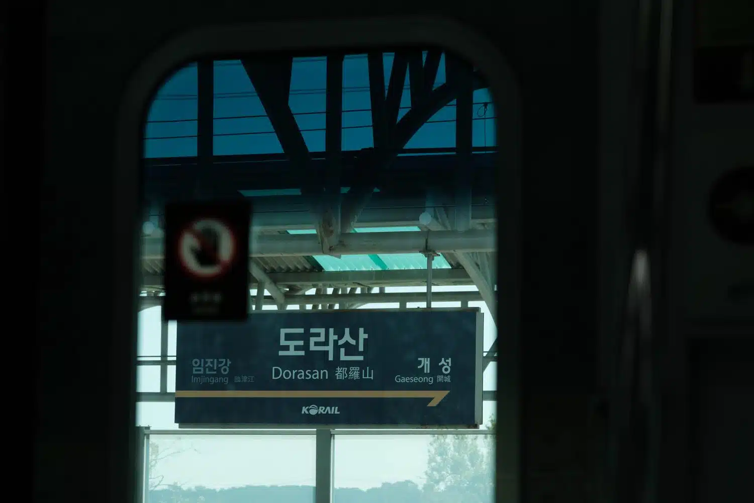
Dorasan Station, the last stop before North Korea.
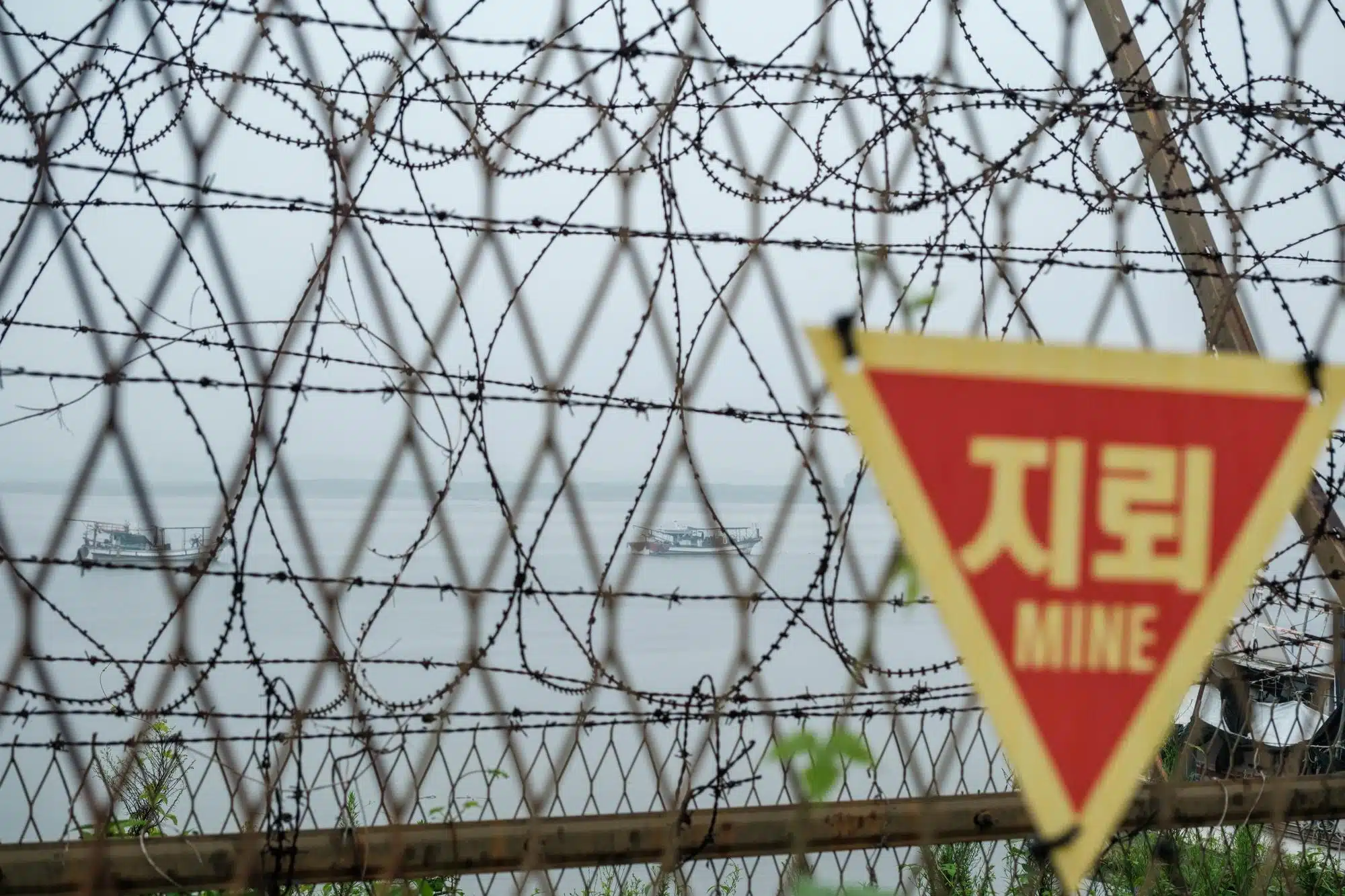
The Jeollyu-ri fishing port in Gimpo, on the Han River north of Seoul. Only 27 boats are allowed to operate in the area, between the capital and the North Korean border, under the protection of the South Korean Marine Corps. The Han river banks near the border are heavily fortified to prevent North Korean infiltrations.
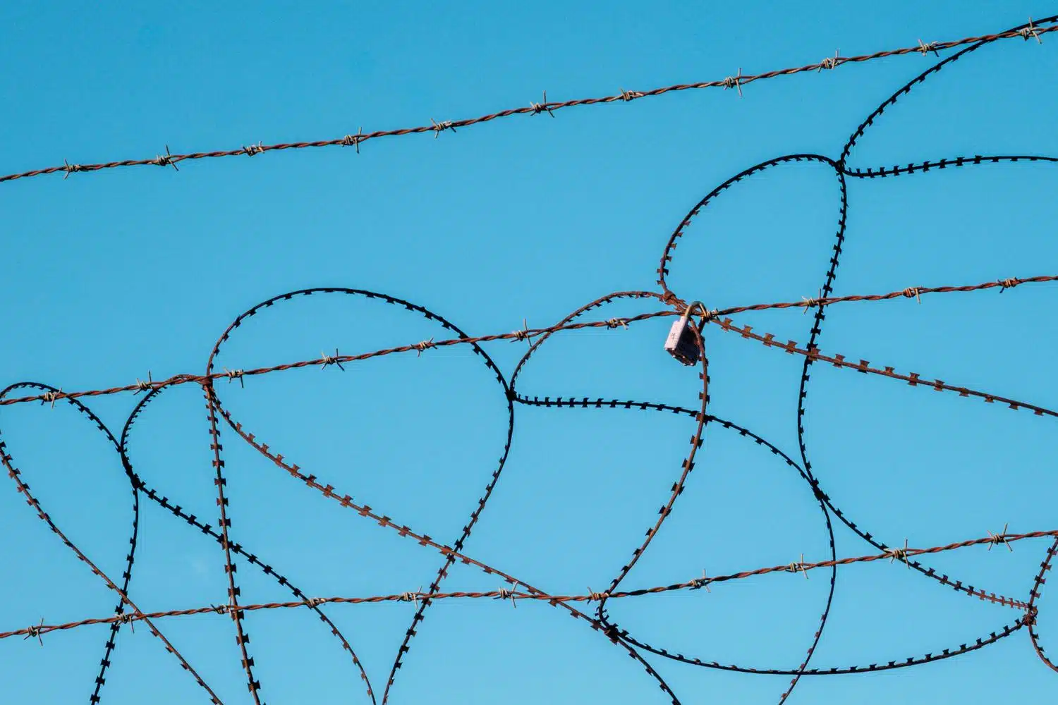
The Civilian Control Line (CCL) fence at Imjingak.
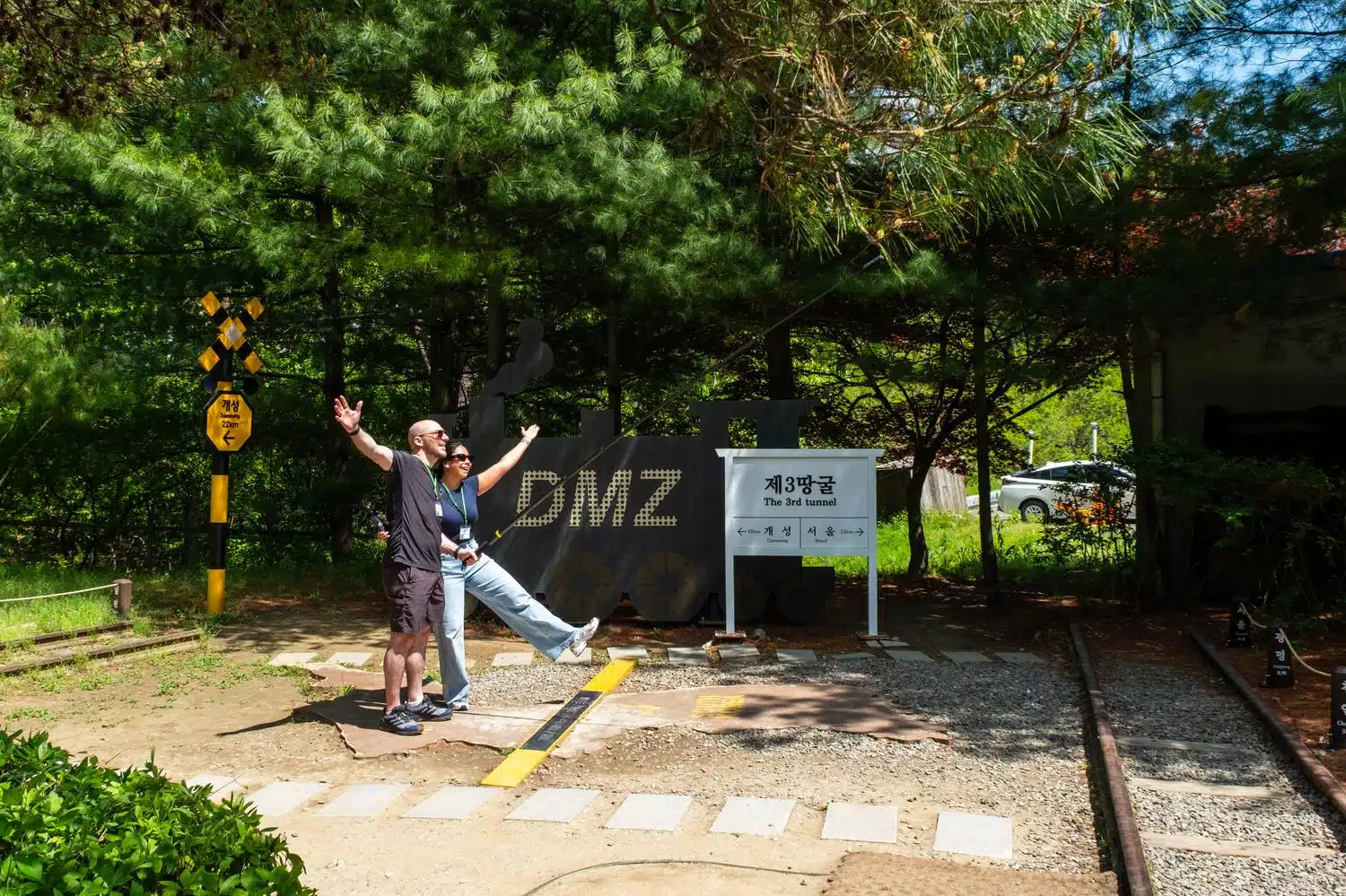
Photo spot at the Third Infiltration Tunnel site, inside the DMZ.
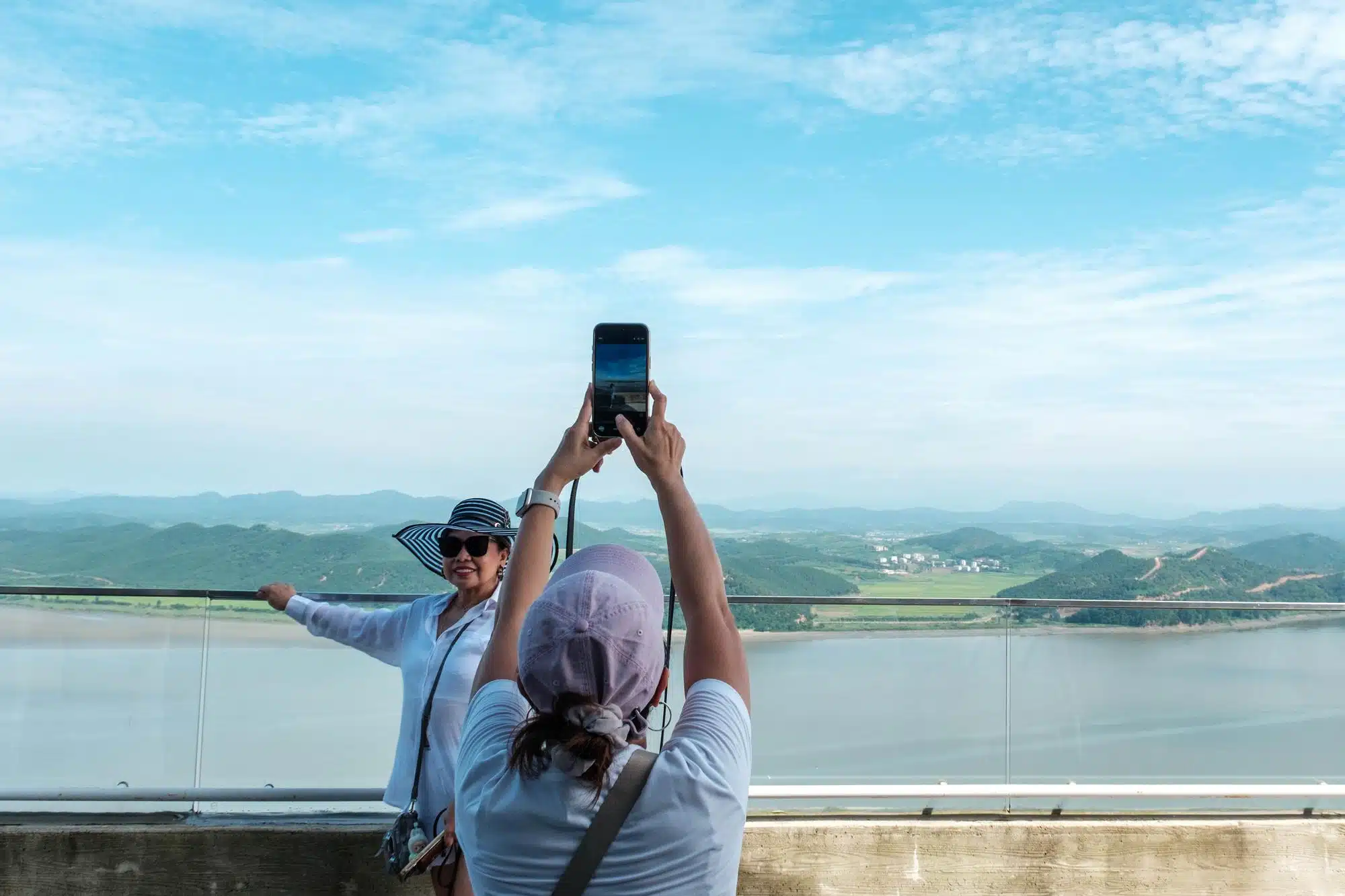
Tourists take pictures in front of North Korea across the Han River Estuary at Aegibong Peace Ecopark in Gimpo.
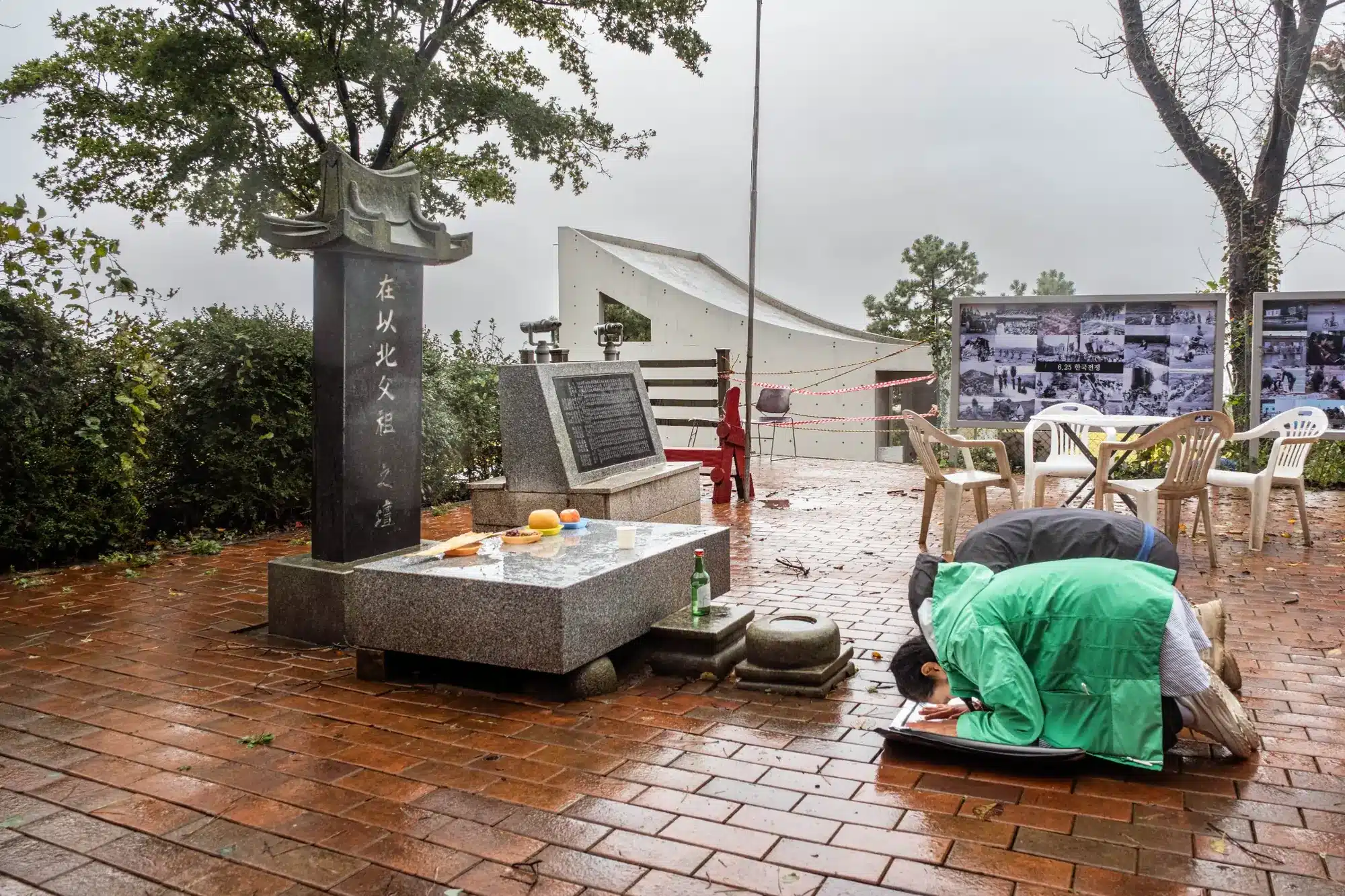
A couple pay their respects in front of the Manghyangdae altar in Gyodong Island during the Chuseok mid-autumn holidays for their ancestors who remained in North Korea, on the other side of the Han River Estuary, just 2.6 km away.